Monthly Archives: February 2017

Custom Google Map of the Georgetown Branch

Another project I’ve been working on is creating a custom Google map that shows the route and history of the Georgetown branch. Here is what I’ve come up with:

This is very much a work in progress. It’s not complete, and I’m aware of the shifting nature of various structures, track placement and equipment placement that changed over the many years the Branch was in service. There are many labels that are incorrect or missing. It’s meant to be a nice reference point, so that if you are curious just where the track crossed the streets of Bethesda, or maybe where that yard was in Georgetown, you can have a look and see. I’ve used multiple sources for this project including B&O Valuation maps, photographs, historic aerial imagery and maps. I hope to update it more (photographs would be nice!) when I have the opportunity. Enjoy!
Georgetown Jct Update: Brush Clearing for MoW Access

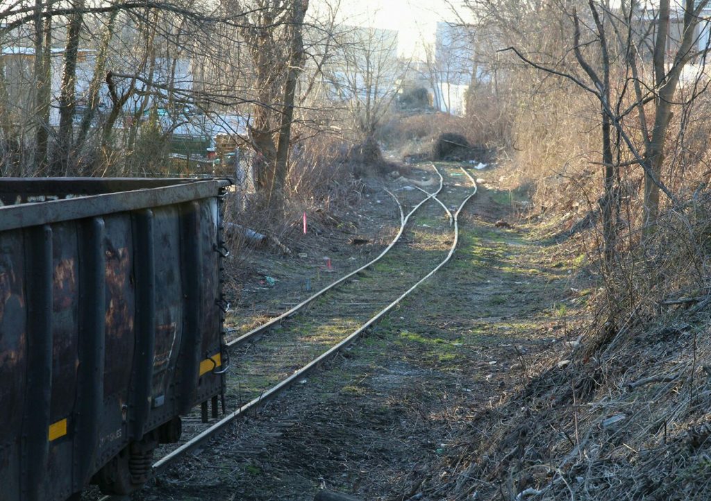
A recent brush clearing effort has revealed some of the original Georgetown Branch trackage and switch leading up to the E.C. Keys / recycling plant siding at Georgetown Jct. According to folks on the CSX “Cap, Met, and OML” subs, Railfans Facebook Group the clearing is being done for MoW equipment which will be utilizing the trackage. It’s neat to see tracks reappear after so long! Here is a photo taken by Janusz Mrozek showing the recent clearing. Thanks, Janusz!

Brush Clearing at Georgetown Jct. - Janusz Mrozek

Brush Clearing at Georgetown Jct. – © Janusz Mrozek

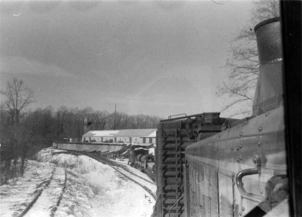
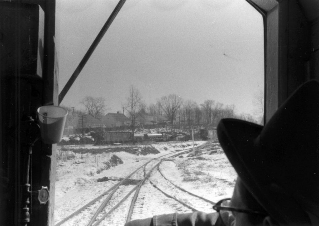
Here are a couple photos of the same general area, nearly 48 years ago to the day! The first is looking back at the Jct, from where Janusz took his photo and the other from about the same spot. Two photos © Ray Mumford.

GB, looking toward Geo. Jct.
Approaching Geo. Jct., Feb 22, 1958. © R. Mumford photo.
Switching at Geo. Jct.
Making the train for the trip back down to Georgetown. Feb 22, 1958. © R. Mumford photo.