Picking up from my previous blog post which caught you up to date on where I am and have been, I want to share some of my thoughts as I approach redesigning the layout. This will be a long post, so get a cup of coffee and settle in.
Version 1
I originally conceived the Georgetown Branch (GB) layout back in the early 2000s when I was getting back into the hobby and leaning hard into the prototype modeling world. At the time, my interest in the GB had just bloomed and I decided that would be my next model railroad focus. I got a copy of CadRail 7 from a friend and set about learning how to use it. It’s got a bit of a steep learning curve, but I managed. Here’s what version 1 looked like:
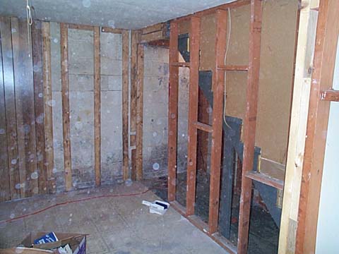
Eventually my track plan would evolve to include the space to the left of the doorway. The basement space I had was awkward – a semi-finished storage space which included the furnace, water heater, gas meter and electrical panel. I spent a few months gutting and rebuilding the space with new wiring, paint, wall paneling and a drop ceiling.
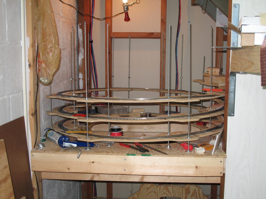
An awkward area beneath the stairs became the location for the helix, which I built to fit that specific space.
I started working on it in 2003 and by 2007 I had run out of steam. Two kids, a busy work schedule and plenty of other commitments meant that the layout would take a back seat.
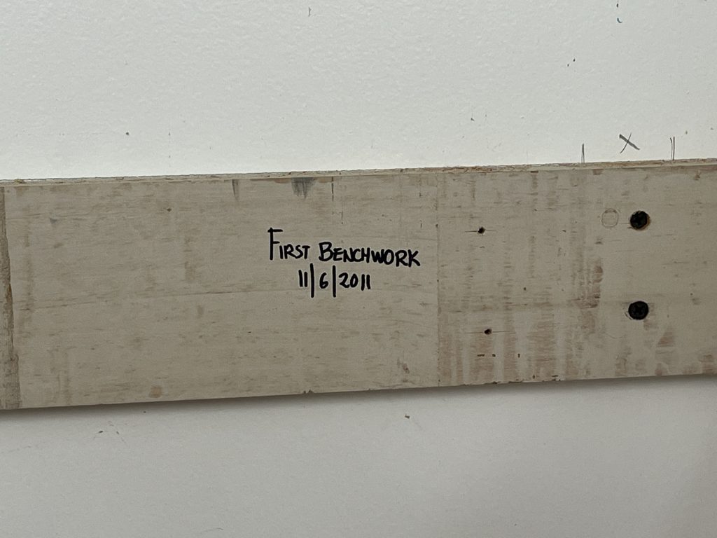
At some point, when we realized we wanted to move to a larger house, I disassembled the layout and stored the lumber and salvageable pieces, like the unfinished helix, which I’d reuse on the next layout.
Version 2
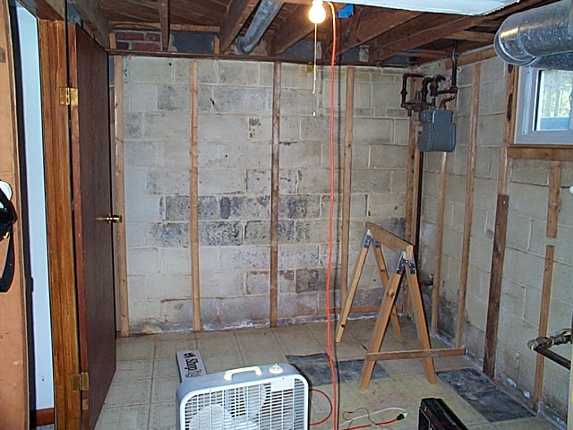
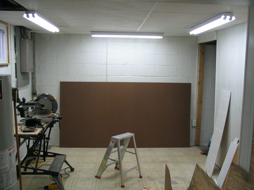
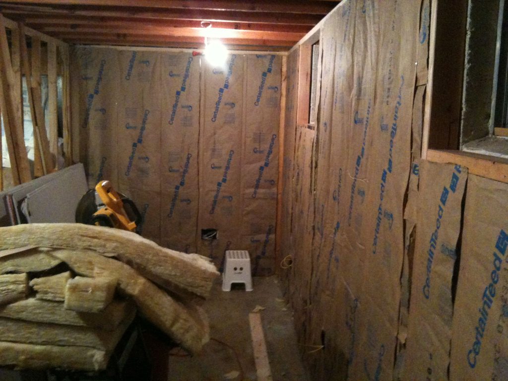
Moving to a new house in 2010 meant that I had a new space to explore and plan around. This new space was a similar shape, but I had to design something that included space for a workshop. I decided to split the room in half lengthwise, complete the helix and mount it on wheels to make it moveable. The layout was in a room about 25′ x 6′. The new space needed to be gutted and rebuilt as well. Thankfully, I know a guy who built homes for a living.
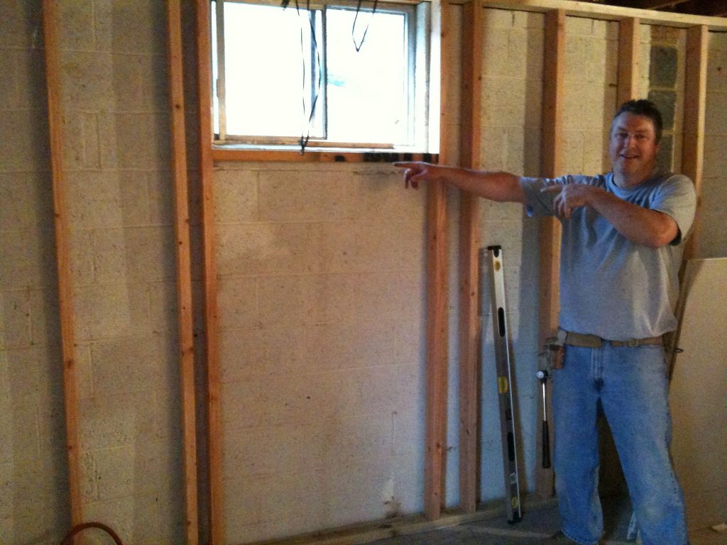
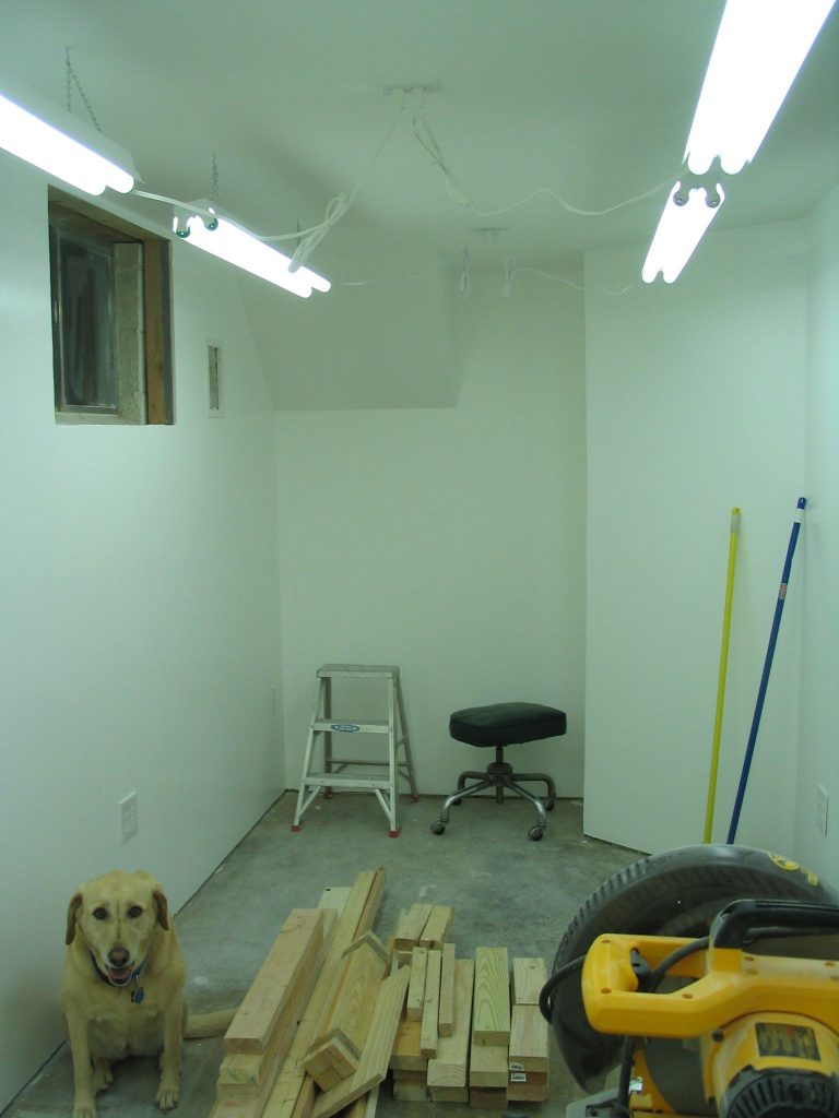
With Kelly’s assistance, the framing was done in an afternoon. I then set out to insulate the room and lay in electric and drywall.
The track plan consisted of a double deck layout. Staging would be on a shelf outside the room in the workshop area.
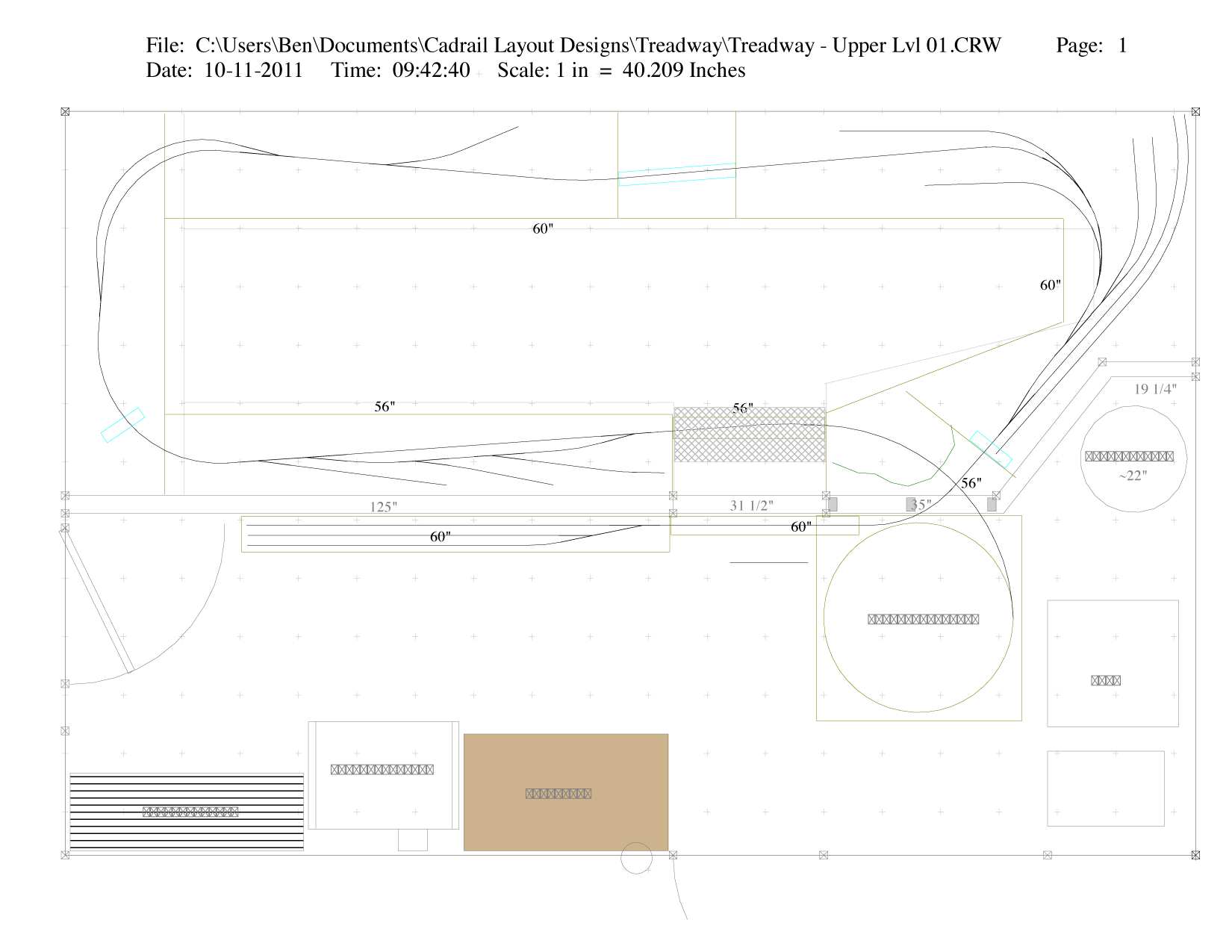
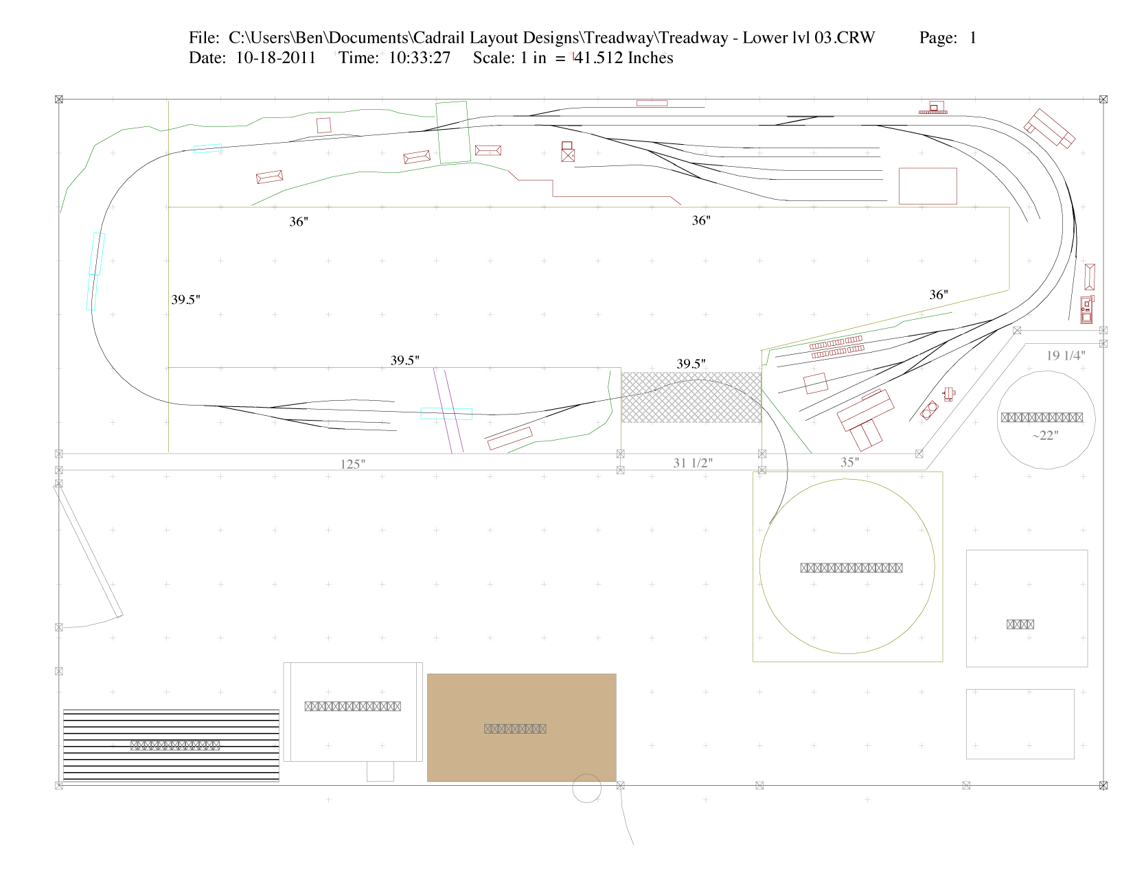
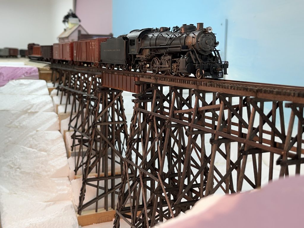
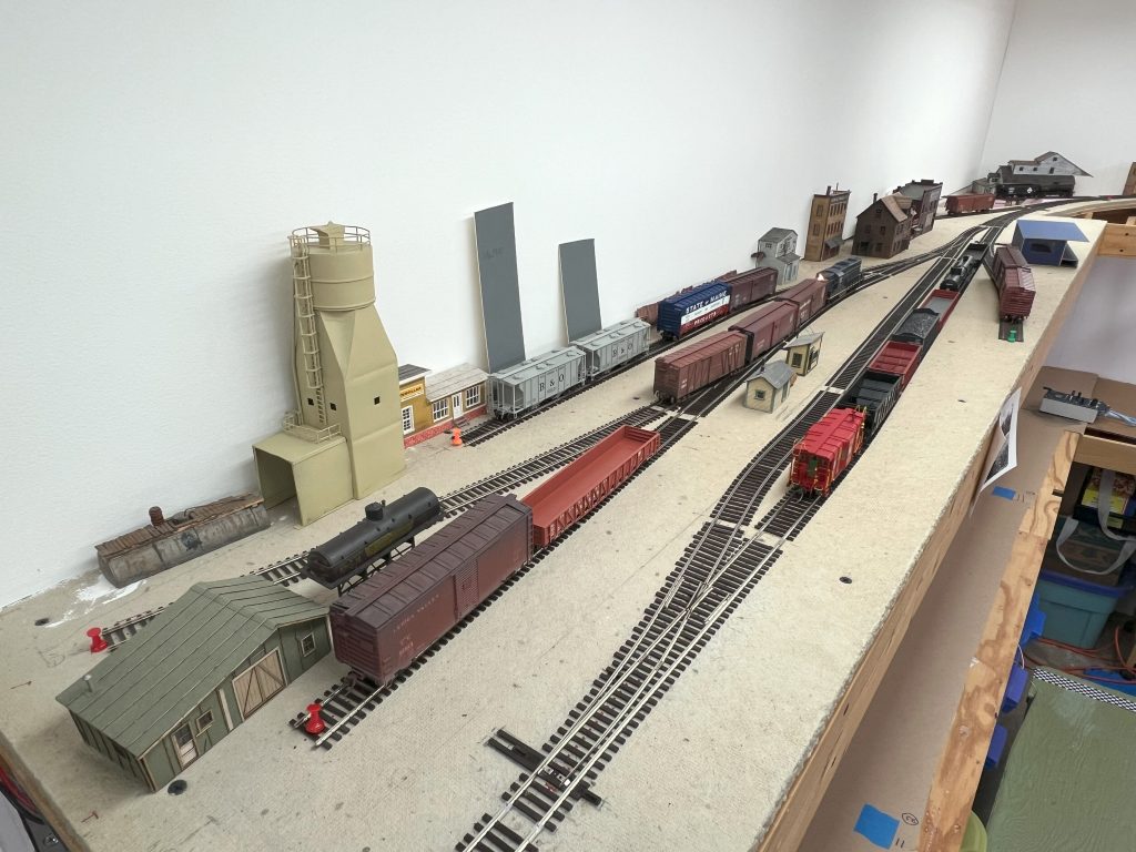
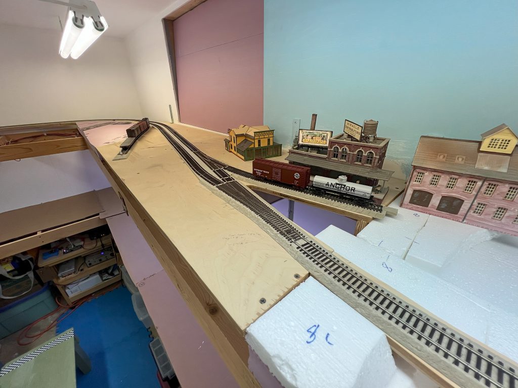
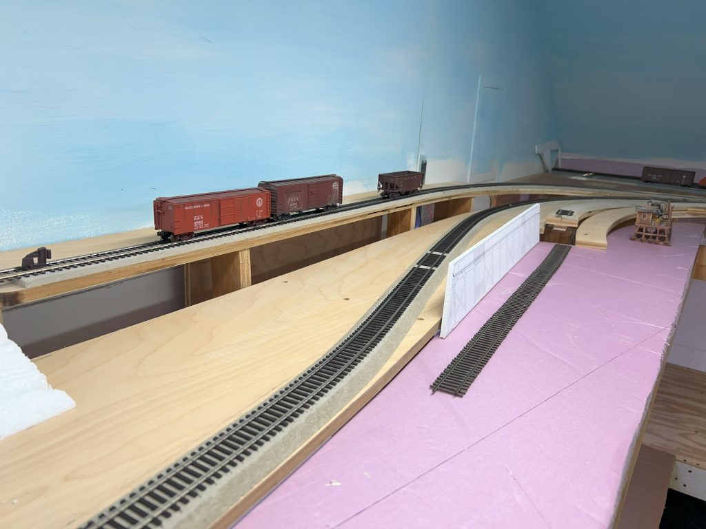
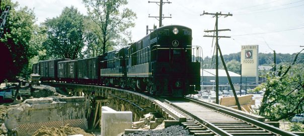
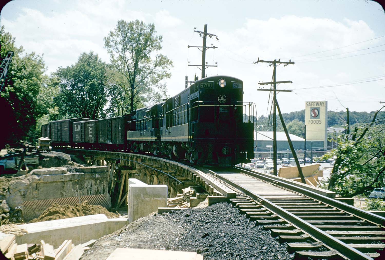
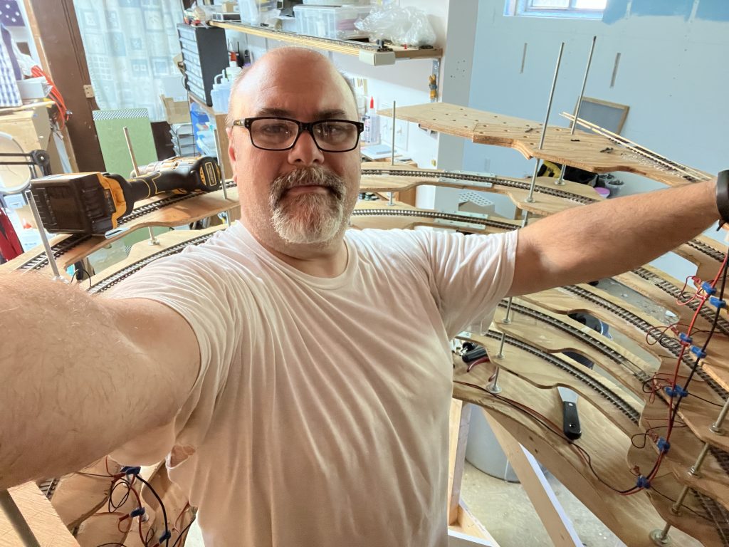
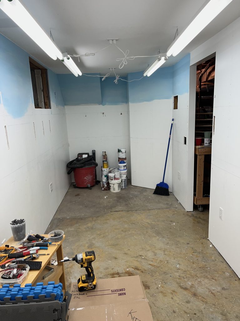
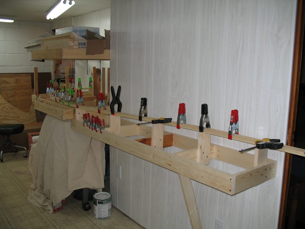
In its final incarnation (seen in the header image at the top of this post, it was about 90% of the benchwork, 45% of the track, 45% of the wiring, and about 5% of the scenery was done. You could operate from staging to Bethesda and back again if you wanted, and I even set up a few test ops sessions in JMRI just for fun. Alas, my interest ebbed and flowed as other challenges came and went around me. With the recent divorce, I knew it was an opportunity for change, so I didn’t look back. The layout was removed on May 31, 2025.

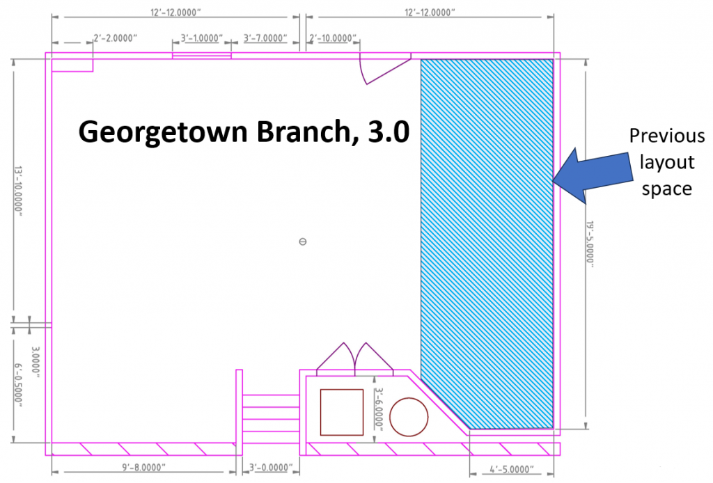
Since I’m now at a major inflection point with prime design opportunities, there are many things I have been pondering and considering.
Era
My previous layout was set in the 1945-1955 timeframe. Why? For four reasons.
- Georgetown steam switcher: 1945 was end of steam switcher in Georgetown, which I wanted to model. (*note – the Georgetown switcher job was in service from 1910 until the mid 1950s.)
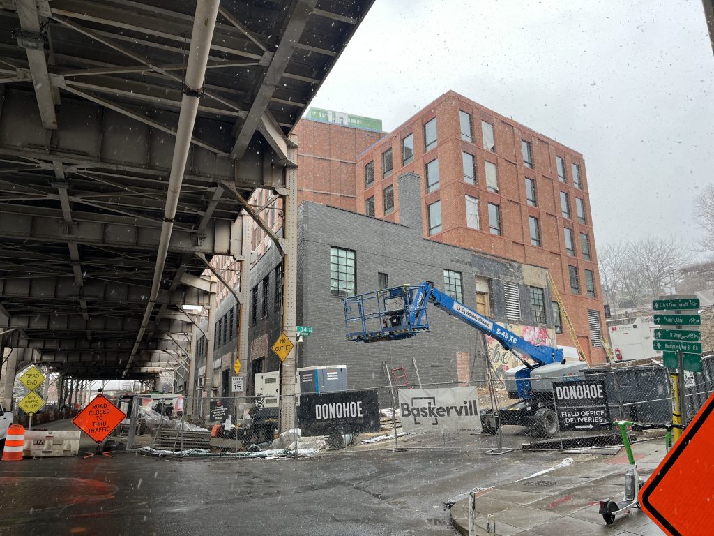
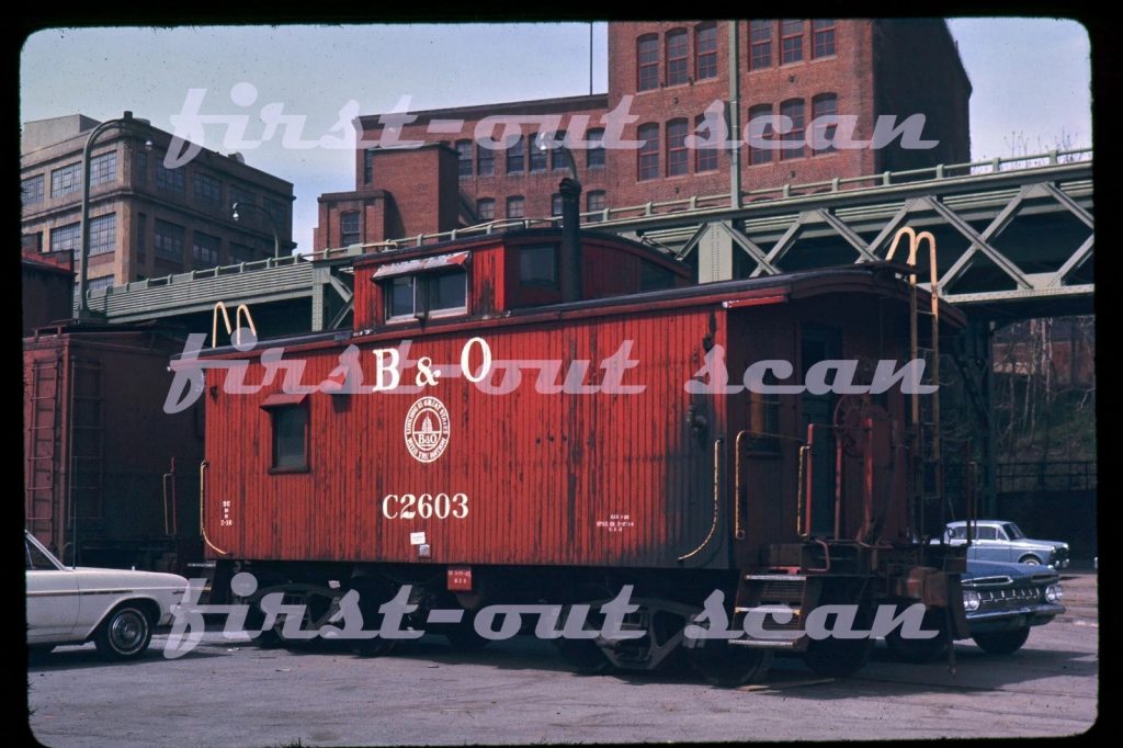
- Whitehurst Freeway: The overhead freeway was constructed from 1947-9 in Georgetown, which I did not want to model. (I have since changed my mind; more on that another day.)
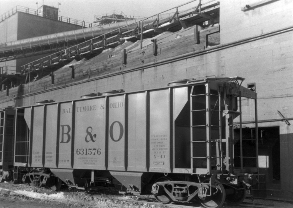
- Diesels and freight equipment: By extending the era out to 1955 it allowed me to include many first gen Diesels (like GP7’s and GP9’s) and freight cars that I enjoy.
- Economics: by having a wider era I would have more opportunities to take advantage of good deals on models when I came across them.
So, with this new opportunity I have the ability to change my tack. I could go drastically off course or keep things steady. Here are the options I have considered so far:
- Keep things as-is. Model the ’45-55 timeframe and enjoy the flexibility.
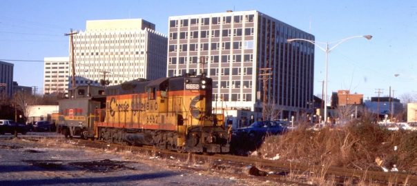
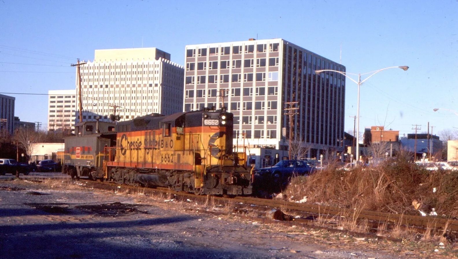
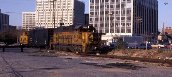
- Forward date the layout to a more modern date. Something like 1965, when traffic on the branch was still significant and active. The local no longer ran from Eckington Yard, but rather originated in Georgetown, working the branch from there to the Junction and back again. Single crew, single train. Tighter curves, four-axle power.
- Backdate/single date the layout to a specific / earlier time. The 1920s through 1940s are in play. Let’s take 1945 as an example. The Alco S1 diesels appeared in Georgetown in 1945 and steam was still the main motive power for freights. The Whitehurst Fwy. was not yet built. An interesting mix of freight, with older equipment being stretched in service length due to war shortages. DC had yet to experience the postwar construction boom, and yet the city was still growing. Lots of unknowns about what things looked like due to lack of photographic evidence. How about 1948? Whitehurst was half-built. The city and suburbs were in full postwar-bloom. Lots of traffic and interesting equipment. What about something like 1925? All steam, and a need for some unavailable steam models like the D-7 0-6-0. Freight traffic was steady and building during this time with lots of interesting equipment. These options require broader curves for the larger steam locomotives.
- Model something else. I have always loved Conrail’s Boston line, which I grew up next to. This would require selling nearly everything I own and acquiring an entirely new roster of equipment, and a ton of new research.
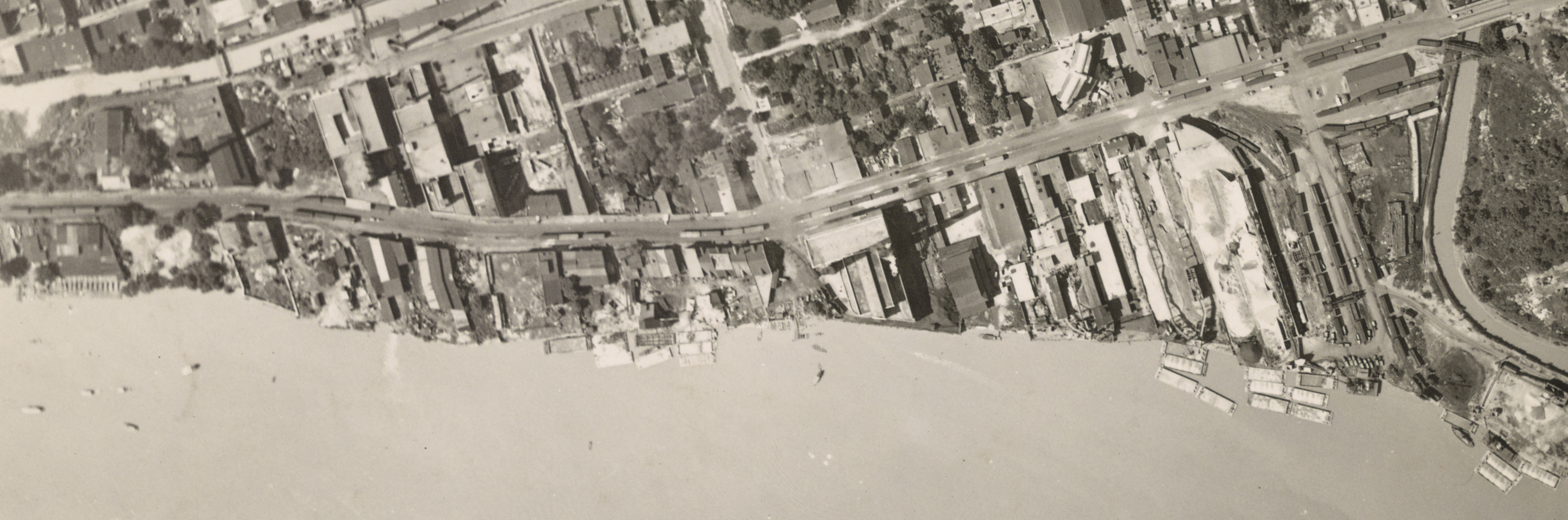
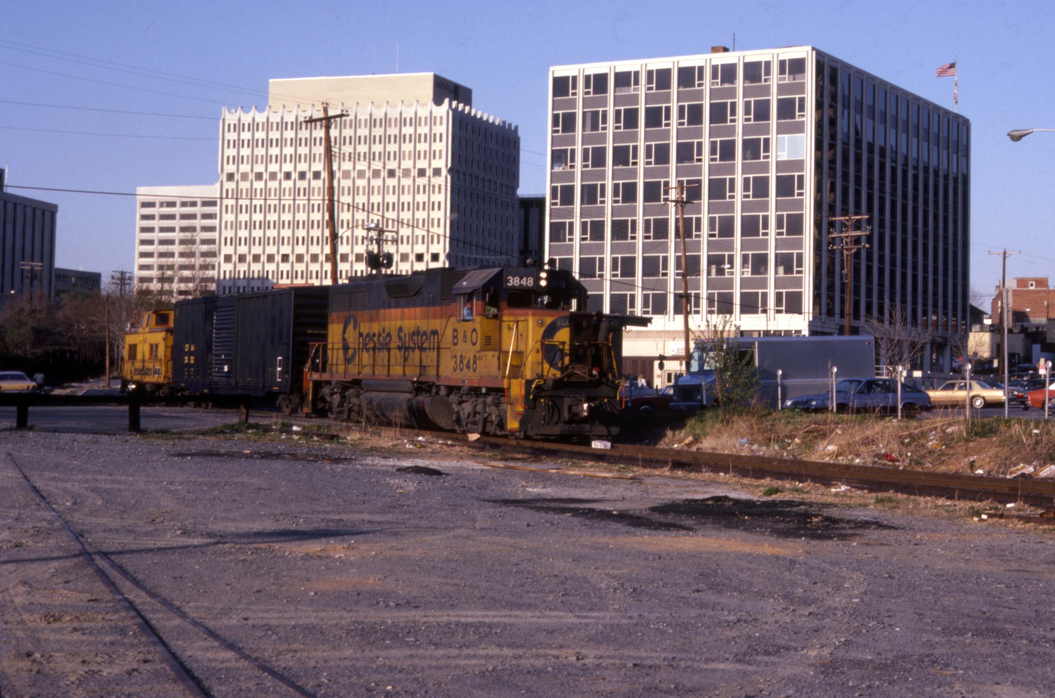
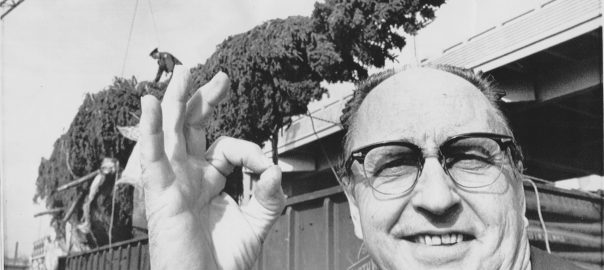
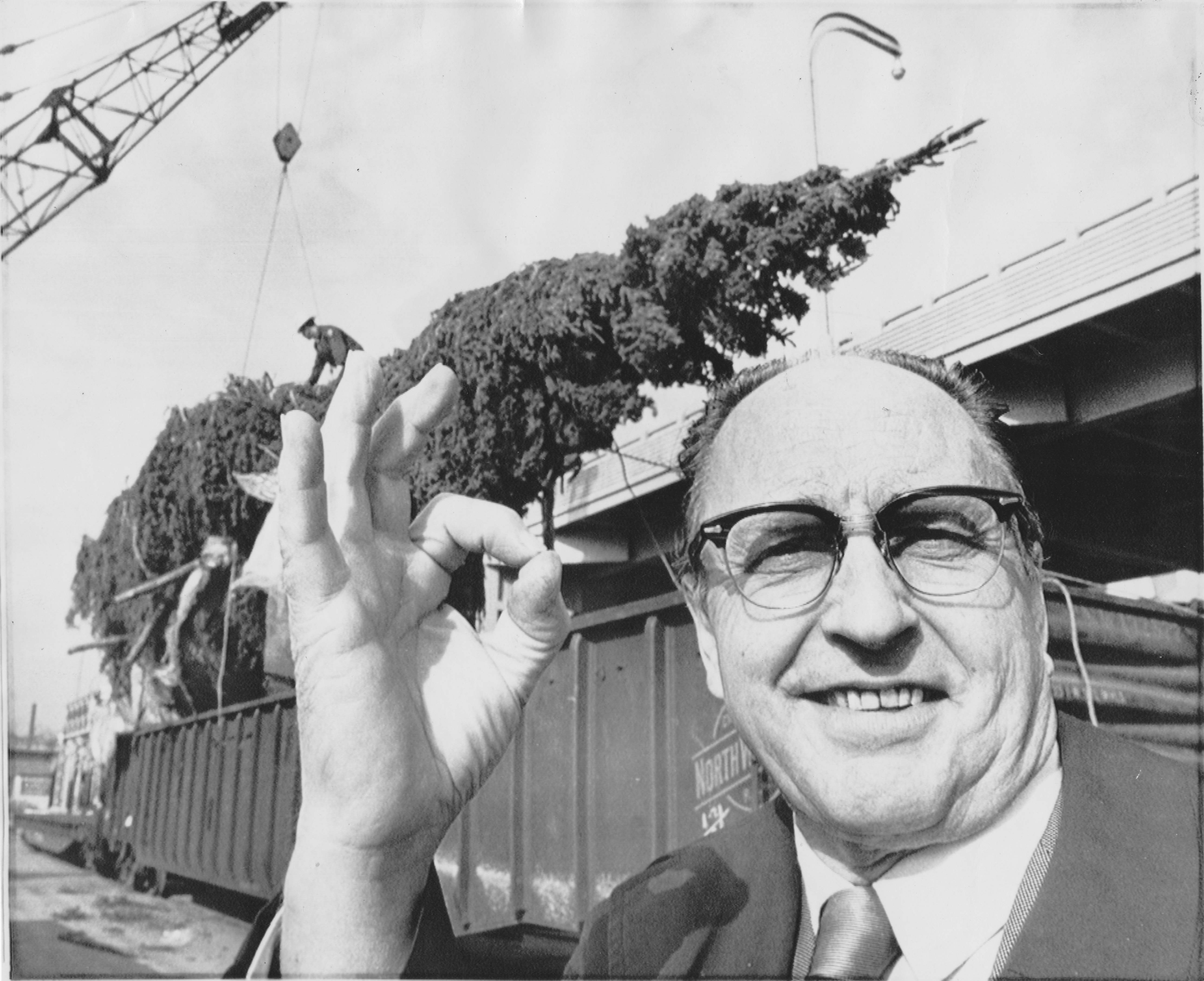
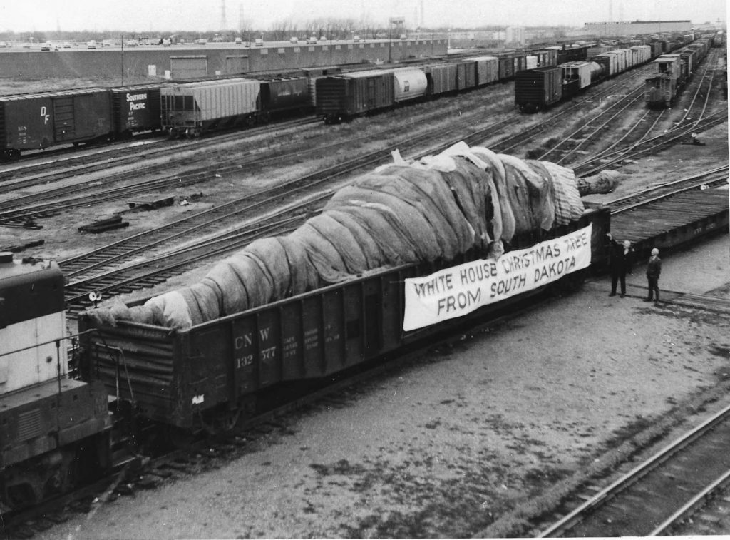
National Archives.
Design
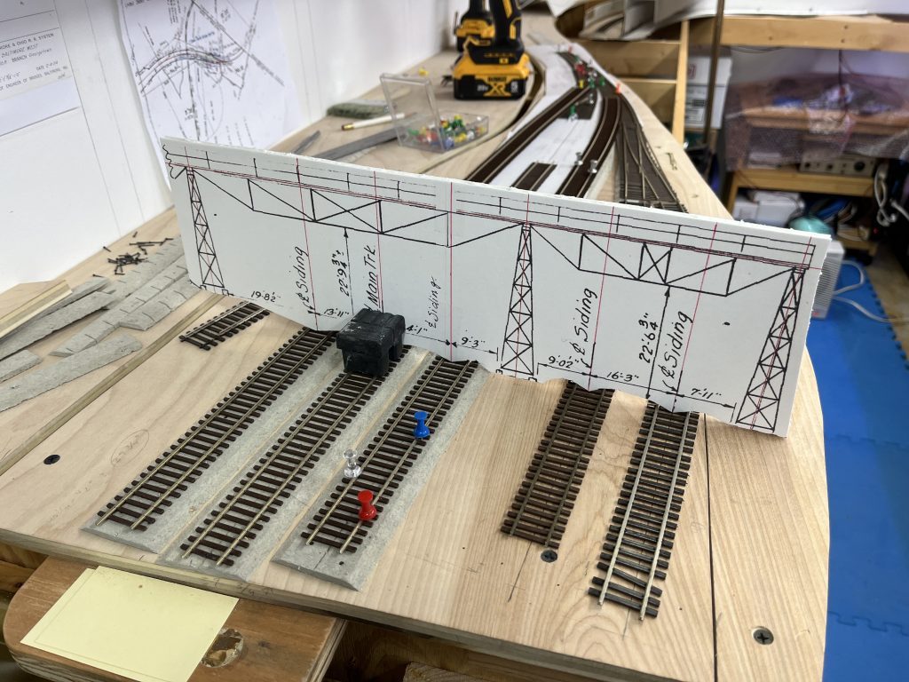
Probably the hardest part of a new layout endeavor is the actual track plan. In years past I’ve primarily used pencil and paper to design layout track plans. With the Georgetown Branch v1 and v2 I used CadRail 7, which, unfortunately seems to be out of print now. I’ve thought about using other digital platforms such as FreeCAD, Illustrator or other digital solutions, but I keep coming back to the old pencil and paper. I think, for me, it will be the best way forward. I’m currently at the phase of literally getting ready to sit down and start drawing.
Givens & Druthers
When designing a model railroad it’s great to start by outlining what your constraints are (givens) and what your nice-to-have’s are (druthers). Here are mine:
Givens
- The era of the railroad shall be _________ (TBD)
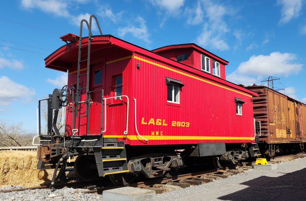
- The railroad will depict the Georgetown Branch of the B&O between Georgetown Jct. and Georgetown
- Space for a workbench beneath or adjacent to the layout
- Space for the paint spray booth beneath or adjacent to the layout
- Space beneath the layout will be used for long-term basement storage. Items such as Christmas decorations.
- Construction will be a mixture of plywood and dimensional lumber
- Aisles will be a minimum of 30″ wide
- Operations will focus on two two-person train crews
- Operations will focus on prototype ops wherever possible
- Lift-outs/downs are acceptable, duck-unders only if at or above head level
- Mainline radius will be 36″ for all visible track. Minimum of 32″ elsewhere. Industrial tracks minimum 24″ radius.
- Turnouts will be #8 where possible, #6 elsewhere. Industrial trackage can be #5 or higher
- Rail weight will be code 70
- Structures and visual elements will represent the prototype as much as possible
- Light will be provided by LED fixtures.
- The layout room will be outfitted with GFCI outlets every six feet or so around the room.
- The layout electrical system will be able to be turned off at the wall with switches
- Motive power and rolling stock will stay as accurate as possible to the era
- ?
Druthers
- A speed limit will be enforced (electronically) on the railroad
- Handheld DCC control will be with Proto Throttles and/or TCS throttles
- The layout can be a single deck, double deck or a combination of the two, depending on the ideal design configuration
- The layout will be constructed in a way that gets trains up and running as quickly as possible. Avoid complexity in the layout design.
- Maintain “achievable layout” philosophy and standards throughout design and construction.
- Occasionally I will run “fun” equipment that is inappropriate for the era/setting
- Operations will be dictated by car cards and waybills. JMRI Ops Pro as a fallback.
- ?
This is really just a starting point. It’s where my head is now and over time there will surely be additions and adjustments. It’s a good exercise to go through as you design a layout, and a crucial part of the process.
So that’s all for now. I am planning on diving into design over the next week or two, and I hope to share my progress throughout the process.