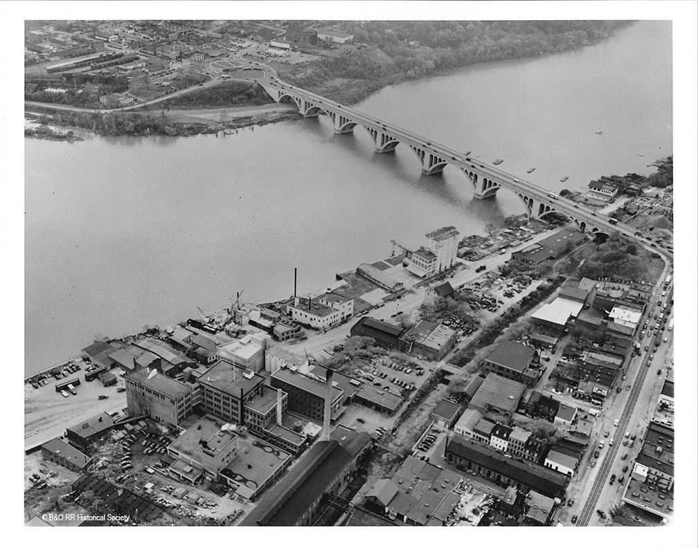
I scanned these eleven images, which are 11″x14″ B&W photos, which were originally part of the H. Smith collection. They now reside in the B&O RR Historical Society Archives in Eldersburg, MD. These photos are housed in an old photo album and are completely unmarked. I’m not sure of their original purpose but I suspect it has something to do with development along the Waterfront including the Whitehurst Freeway. If you are interested in the industrial area of Georgetown, these are a treasure trove of information. For me, they answer many questions about track alignment, industries and the state of the city during the time frame I am modeling. Jackpot! Enjoy!