* Note: this post was originally made on 7/9/2015 but seems to have disappeared into the ether. I’m reposting it from memory b/c it’s a VERY interesting map, not just for Georgetown Branch research, but for the DC area. Enjoy!
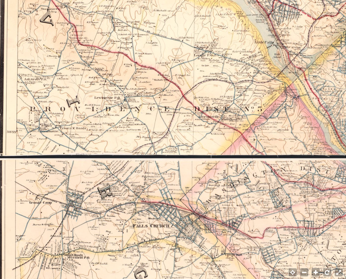
Maps are so often used to base opinions when it comes to historic interpretation. The B&O planned on extending the Metropolitan Southern branch all the way into Northern VA to connect with the Southern RR and points South. At the time, the B&O was in some financial stress and the plan was never realized. They did, however, connect with the port of Georgetown, consolidating three railroads into one. (Metropolitan Southern, Washington & Western Maryland and the Georgetown Barge, Dock and Elevated Ry Co.) This became the Georgetown Branch of the B&O after 1908.
Read more about this history here on the Capital Crescent Trail website: http://www.cctrail.org/history_georgetown_branch
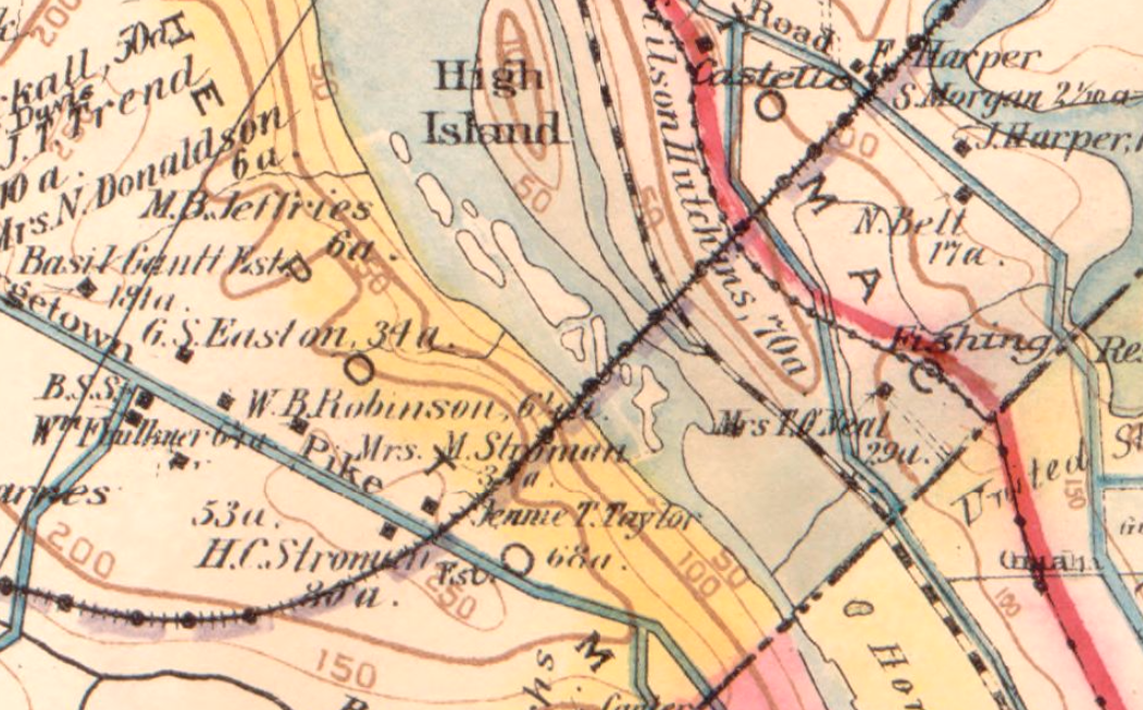
The plan to continue across the Potomac was a serious plan by the B&O. So serious, in fact, that it appears on many maps and documents that I have come across, including official B&O track maps! (there is one hanging on the wall at the B&ORRHS Archives in Eldersburg that shows this very thing) I came across this Baist map of DC and the extension is very clearly shown. So much so, the line continues on into VA for quite a while.
Take a minute to visit the Library of Congress website and see this for yourself. It’s a stunning map with lots of history to explore. Enjoy!
https://www.loc.gov/item/87691445/
You can view the map on this page or you can download the original. They even have a .TIF file that is nearly 1GB in size! Here’s a wide view to give you an idea: