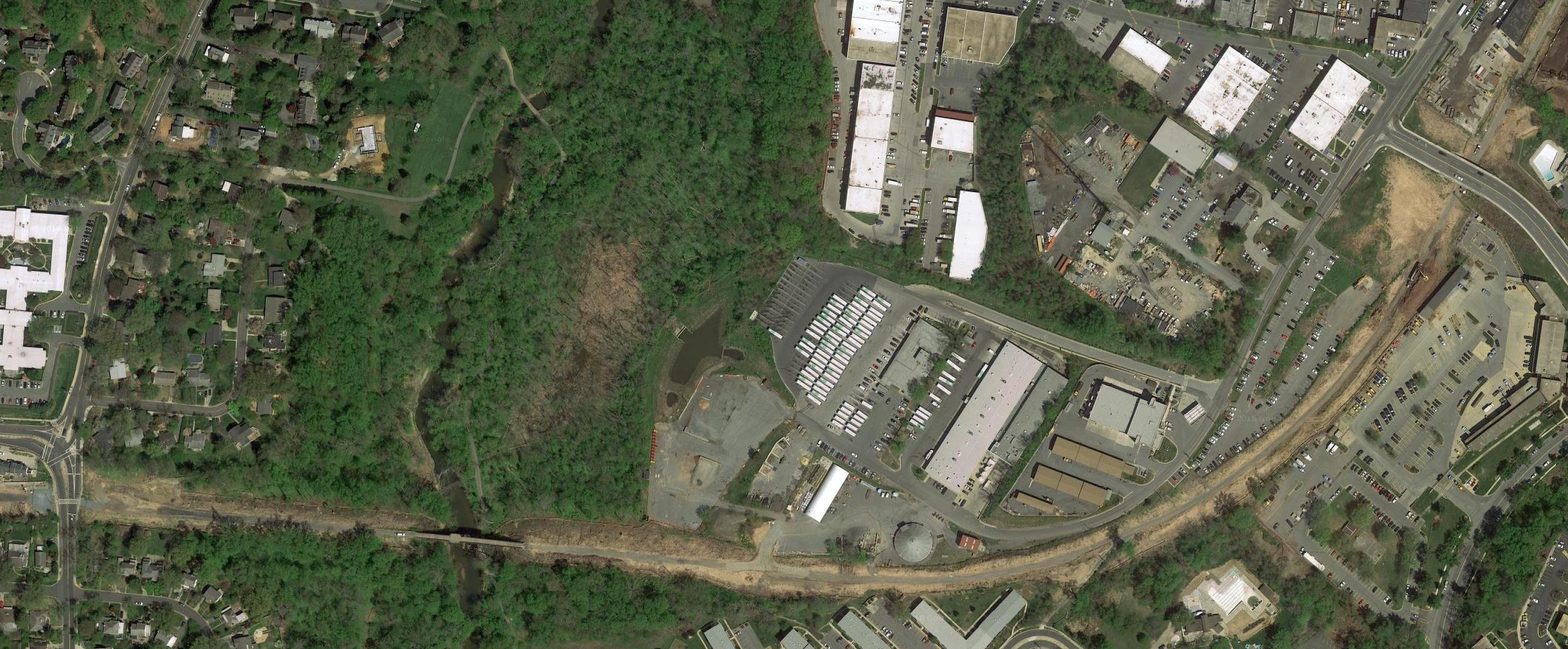
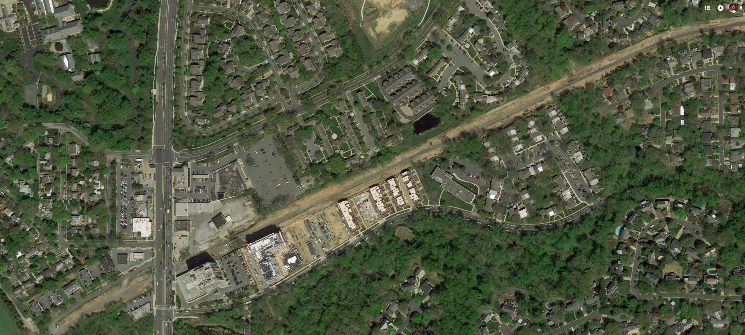
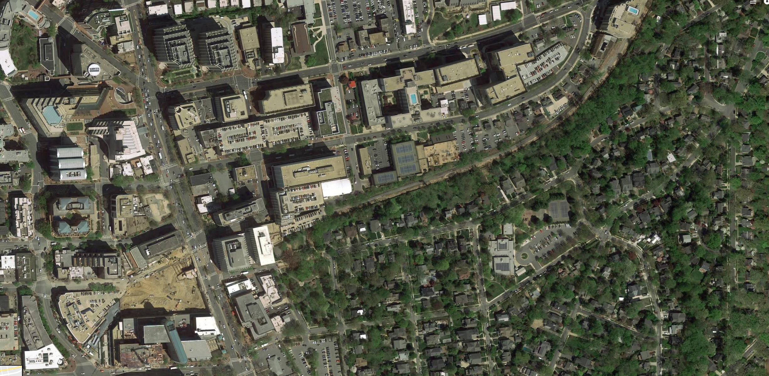
I didn’t realize just how frequently Google Maps images are updated, but this is impressive to me. Here are a few images I snagged today which show the Georgetown Branch right of way as it stands very recently, earlier this Summer. You can see all of the clearing that has happened along the RoW very well. Very impressive. I really wish I could walk the line one last time before they do permanent grading, just to see what the RoW was like when the GB was new. Oh well! 🙁