Category Archives: Prototype

Things to do with the Georgetown Branch prototype.

East Side of Rock Creek Trestle is No More

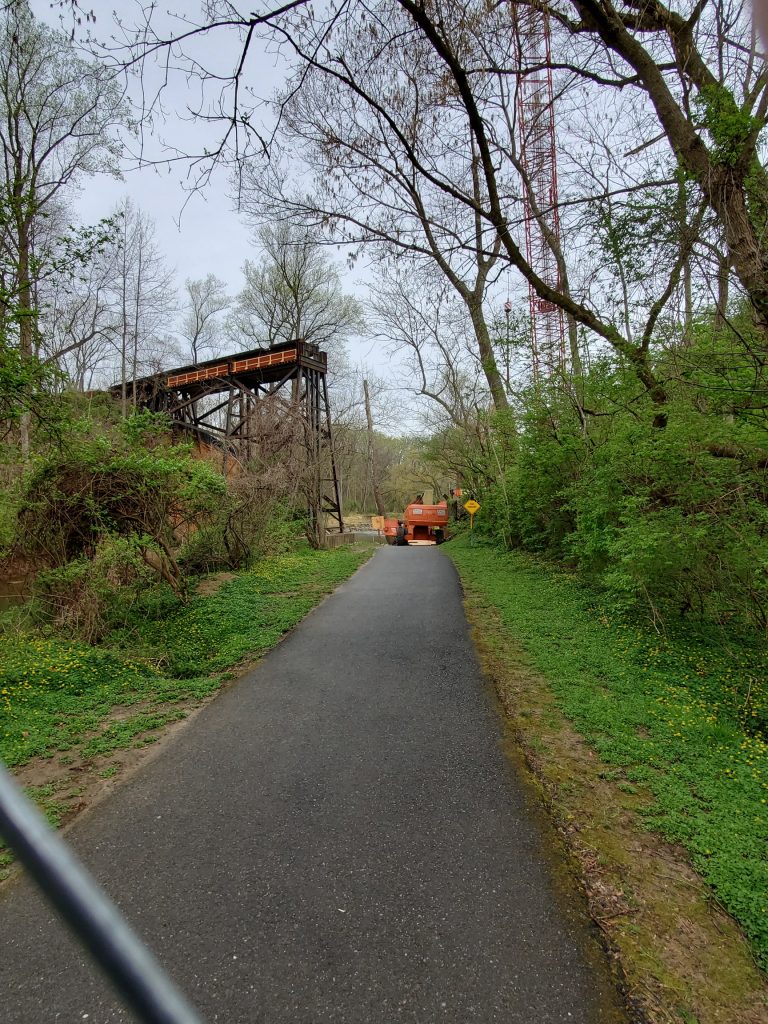
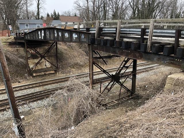
Greg C. visited the Rock Creek site this past Tuesday morning and witnessed the missing wooden trestle. It’s gone! :'( This marks the end of an era, the bridge having stood since 1892 has finally gone down. A new pair of bridges will replace this one, carrying the Purple Line rapid transit and the Capital Crescent Trail across the valley at about half the height of the original trestle. RIP.

4/9/19 – the wooden trestle is no more. The steel 1972 rebuilt section of the west end still stands, for now. Photo courtesy Greg C.

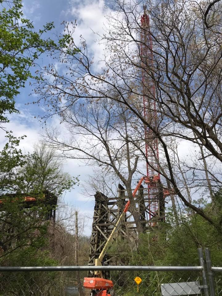
A photo from the Friends of Forest Glen Facebook group shows the demolition in progress. If only I could have gotten up there to measure those timbers. :'(

4/8/19 – Photo by Ed Murtagh from the Bethesda Chevy Chase Back In The Day Facebook group.

Rock Creek Trestle Demolition Progress

View is west, standing on the northern side of the right of way. The Creek and the trestle are behind the crane. Sadness.

B&O Valuation Maps Going Online

The National Archives has started posting their collection of valuation maps online. Right now, not everything is live, but more is sure to come. Visit the collection of B&O materials here: https://catalog.archives.gov/id/1180861

I was unable to find anything Georgetown Branch related at this time, but I will be checking back and will update this post when I do. Could you find anything interesting on there? I hope so! The collection really is fantastic.

UPDATE: It’s Jan 14th, 2020 and I revisited the National Archives collection to see if there are any new images. I found two:

Valuation Section 24.1, Sheet 1
Published June 30, 1918. This covers Georgetown Jct. to Connecticut Ave. There is a ton of new info on this map! No sidings at the junction, sidings at Rock Creek Bridge (at each end) and a lot of detail at Chevy Chase! Wow!

Valuation Section 24.1
Published May, 1938. Also covers the area around Georgetown Jct. Not sure about this map. It shows a much wider perspective and has some markings near Silver Spring, probably regarding land ownership.

Here’s hoping they publish more in the future. Let me know if you see any!

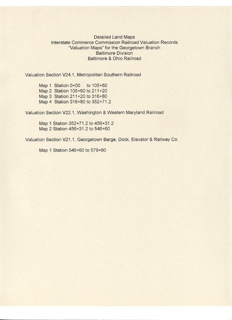
Here is a list of the valuation maps that pertain to the GB.

Rock Creek Trestle Demolition Date Set

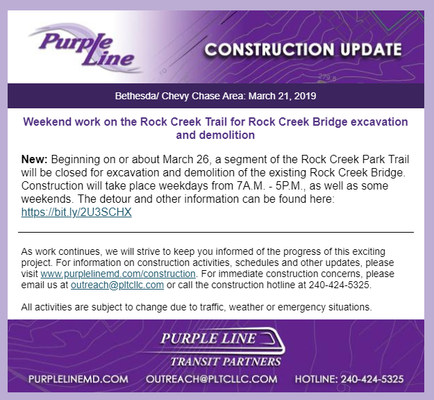
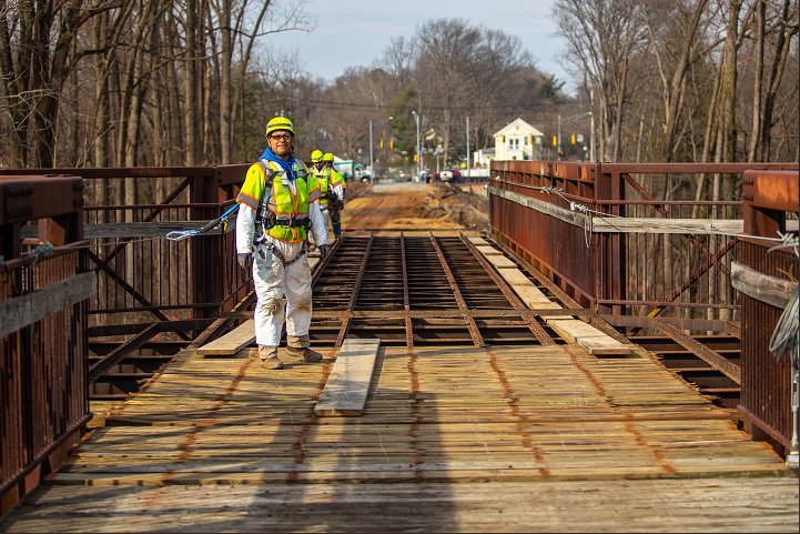
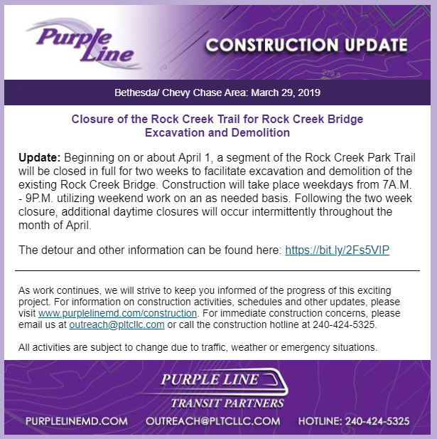
The bell is tolling for the Rock Creek trestle. The Purple Line has announced that beginning on March 26, demolition will begin as they remove the path across the top and then begin demolishing the trestle itself. Already the wood planking atop the trestle is being removed.

Photo from @PurpleLineMD

I am hoping to visit the site to witness some of the demolition. It’s heartbreaking to read about. RIP.

UPDATE:

Documenting the Talbot Ave Bridge

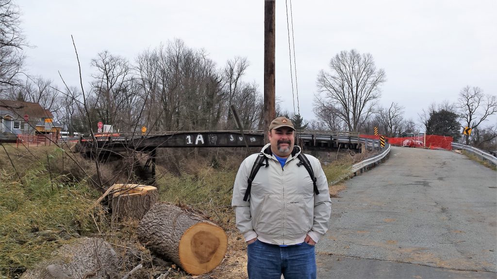
As most of you will know, the bridge which crosses the B&O’s Metropolitan Branch and Georgetown Branch lead at Georgetown Junction is slated to be torn down. The sides of the bridge, which once belonged to a turntable, are to be saved and placed along a new stretch of the Capital Crescent Trail, which is nice. The bridge was constructed at some point around 1918 and has seen several refurbishments over the years. Much of the support structure rusted away over the years and as such the bridge has been condemned for the last year or two. Thankfully, it was recently re-opened to pedestrian traffic.

Photos from our visit are here in my Gallery.

Here I am on a chilly Sunday posing in front of the Talbot Ave. bridge. It snowed a bit while we were there. Note the giant logs laying on the ground; evidence of the brush and tree clearing the Purple Line folks are doing. Photo by Greg C.

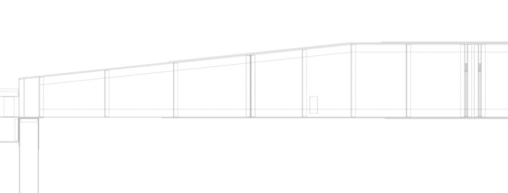
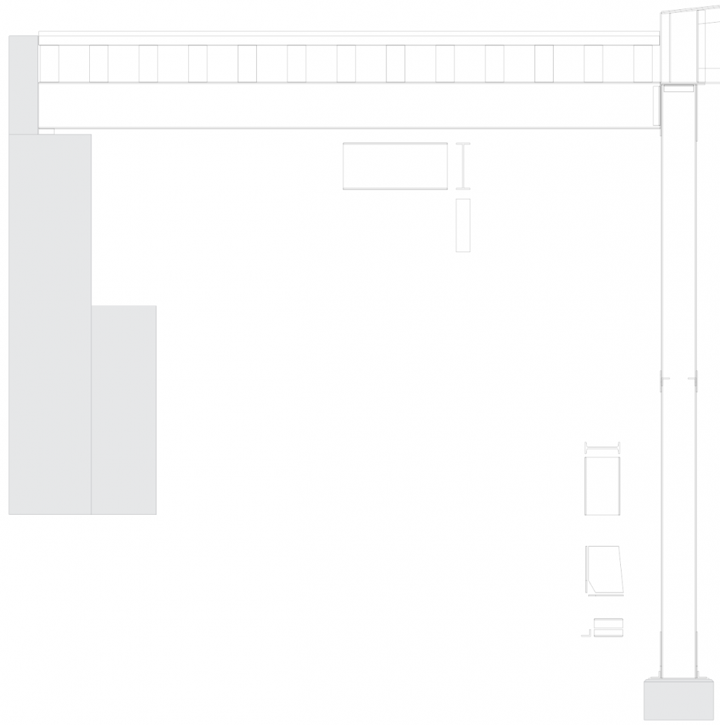
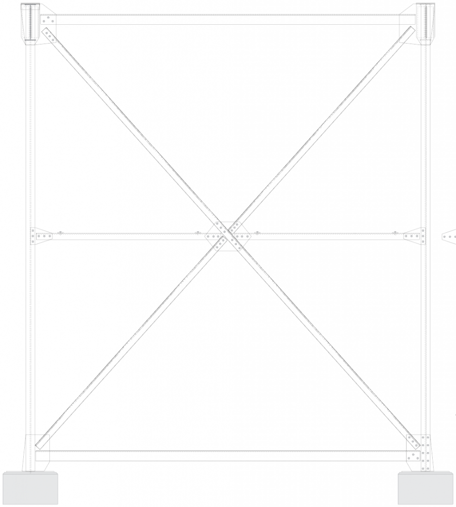
Greg C. and I spent a morning at the bridge documenting it both with a measuring tape and with a camera. All in all, it was a very successful trip and I feel confident that I have enough data to accurately model the bridge in HO scale for my layout. Unfortunately, the model will have to be modified a bit to fit in my space, but I plan on being as accurate as I can. I think once complete, it will be a really neat model. Here are a few a sneak peeks at the drawing I am developing of the bridge structure:

Layout Update: 3/12/2019 – More Turnouts

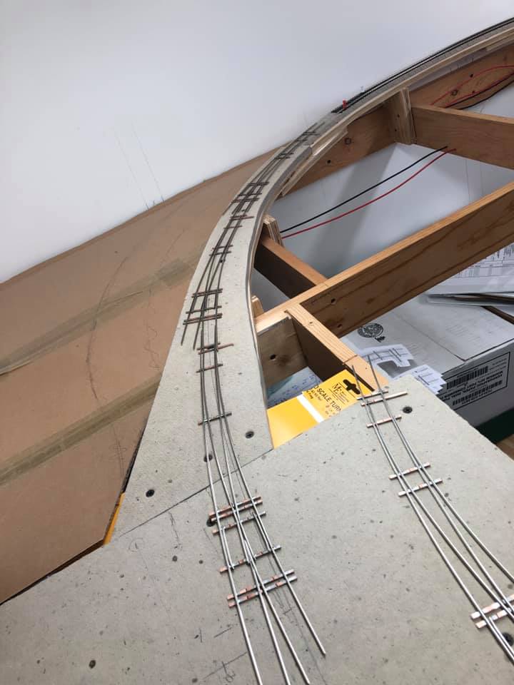
The three turnouts in place for the track coming into Bethesda. Not the extra curved turnout on the right.

After building my first curved turnout a couple weeks ago I decided to build the next two to complete the track coming into Bethesda. I spent several hours over the weekend putting these together. When all three were done, I set them in place and realized I didn’t like how they worked. The first one was too tight of a radius. Hmmm… the only solution was to build one MORE turnout! This one a #10 LH with a 60″ OR and 46″ IR. It took me a few more hours to complete as I don’t have a FastTracks PointForm jig for a #10 turnout, only #8. So I used that and filed them down further to get the clearance I needed. Improvise. Adapt. Overcome… yeah.

Closeup of the curved turnouts.

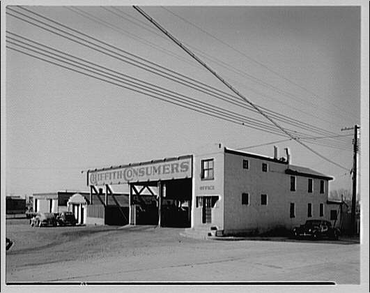
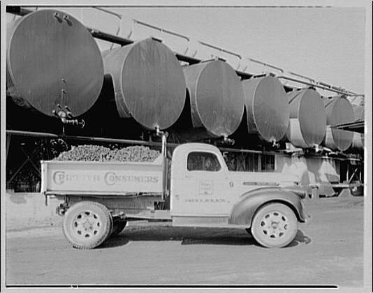
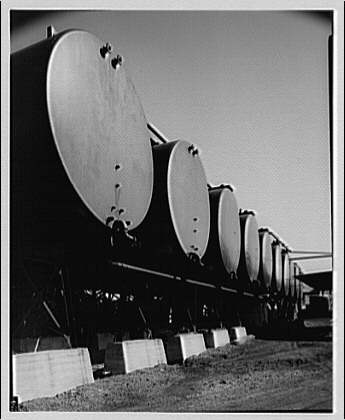
Putting together the turnouts has been a tremendously rewarding experience and I take a lot of pride in how they turned out. I still have a bit of work to do with them, specifically I need to cut gaps, test continuity, fit them in place on the layout, paint, weather, install ties and wiring. Oh, and switch machines. *phew!* I’ll also need to modify the benchwork for the first siding which branches off at the start of the curve. This will be for the Griffith Consumers Co. coal & oil facility, which you can see here in this 1949 aerial view on NETR Historic Aerials. I will add a bit of a wing of plywood and Homasote subroadbed and then drop down for the coal unloading trestle. Ideally this facility will receive 2-3 40′ cars of fuel oil and coal. Here are some random LoC photos of the facility there. Unfortunately I don’t have a great shot of the trestle.


Horydczak, T., photographer. Griffith Consumers Co. Yard at Bethesda for Griffith Consumers Co. Bethesda Maryland, None. ca. 1920-ca. 1950. [Photograph] Retrieved from the Library of Congress, https://www.loc.gov/item/thc1995000330/PP/.

Horydczak, T., photographer. Griffith Consumers Co. Coal truck of Griffith Consumers Co. Bethesda Maryland, None. ca. 1920-ca. 1950. [Photograph] Retrieved from the Library of Congress, https://www.loc.gov/item/thc1995000332/PP/.

Horydczak, T., photographer. Griffith Consumers Co. Oil tanks of Griffith Consumers Co. Bethesda Maryland, None. ca. 1920-ca. 1950. [Photograph] Retrieved from the Library of Congress, https://www.loc.gov/item/thc1995000331/PP/.

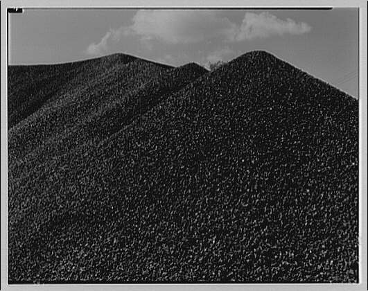
Horydczak, T., photographer. (1947) Griffith Consumers Co. Coal pile in Bethesda, Maryland for Griffith Consumers Co. Bethesda Maryland, 1947. Sept. 18. [Photograph] Retrieved from the Library of Congress, https://www.loc.gov/item/thc1995000364/PP/.

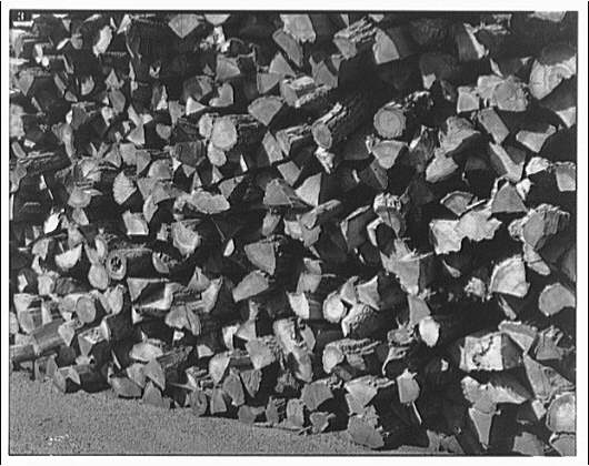
Horydczak, T., photographer. (1947) Griffith Consumers Co. Wood pile in Bethesda, Maryland for Griffith Consumers Co. Bethesda Maryland, 1947. Sept. 18. [Photograph] Retrieved from the Library of Congress, https://www.loc.gov/item/thc1995000365/PP/.

B&O S2 9023 in Bethesda ca 1964

This photo had to have been taken around 1964, as I believe the Air Rights building (visible under construction in the distance) was completed in 1966. S2 9023 was built between 1943-48. I’m not sure of its original three digit number. The B&O Freight Station is visible to the left of the cab and the engine is sitting on the main, just past Bethesda Ave. I stumbled on this photo while looking at the B&O Diesel Roster on North East Rails. Photo by Bud Laws.