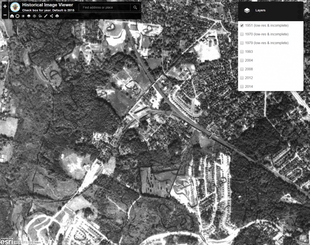
I just came across this link via Facebook and it’s pretty cool. The Montgomery County MD Geographic Information Systems (GIS) map viewer. There are many maps available on the site, but this historic aerial collection is particularly interesting. The resolution is not that great, but it suffices. The earliest images are from 1951, and show the Georgetown Branch route quite well. Have a look for yourself!