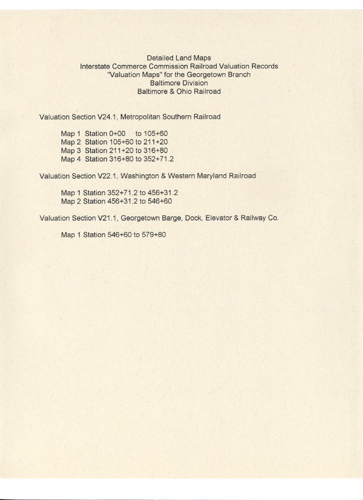
The National Archives has started posting their collection of valuation maps online. Right now, not everything is live, but more is sure to come. Visit the collection of B&O materials here: https://catalog.archives.gov/id/1180861
I was unable to find anything Georgetown Branch related at this time, but I will be checking back and will update this post when I do. Could you find anything interesting on there? I hope so! The collection really is fantastic.
UPDATE: It’s Jan 14th, 2020 and I revisited the National Archives collection to see if there are any new images. I found two:
Valuation Section 24.1, Sheet 1
Published June 30, 1918. This covers Georgetown Jct. to Connecticut Ave. There is a ton of new info on this map! No sidings at the junction, sidings at Rock Creek Bridge (at each end) and a lot of detail at Chevy Chase! Wow!
Valuation Section 24.1
Published May, 1938. Also covers the area around Georgetown Jct. Not sure about this map. It shows a much wider perspective and has some markings near Silver Spring, probably regarding land ownership.
Here’s hoping they publish more in the future. Let me know if you see any!