Daily Archives: October 12, 2016

Layout Progress Update

It’s been too long. Over a year. I haven’t touched the layout since the summer of 2015. There, I said it. There have been many, many factors and excuses to explain this lapse, none more compelling than inertia and laziness. I’ve taken on lots of other side-projects and tasks and found many other ways to distract myself and burn time doing fun things that don’t involve working on the layout. Well, I’ve got the bug again and I’m back at it. I spent the holiday weekend cleaning out the layout room, reorganizing and getting myself mentally back up to speed with my progress on the layout.

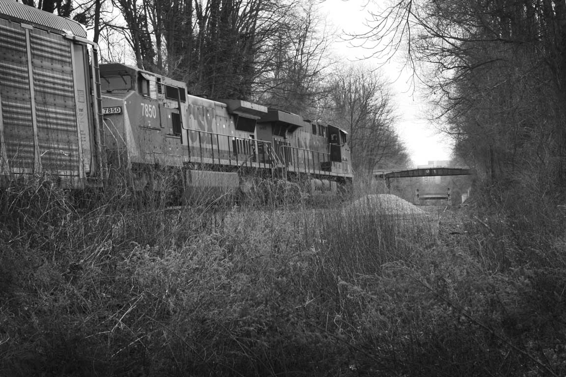
I’ve posted a few photos of my progress here on my Flickr page.

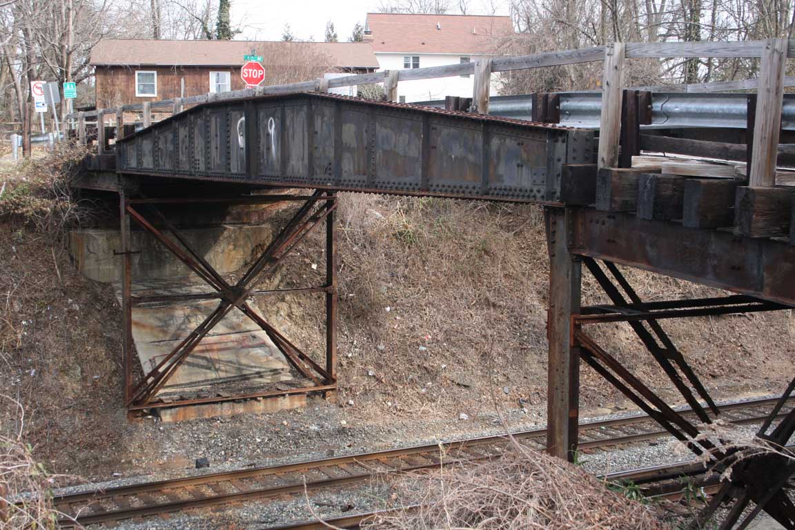
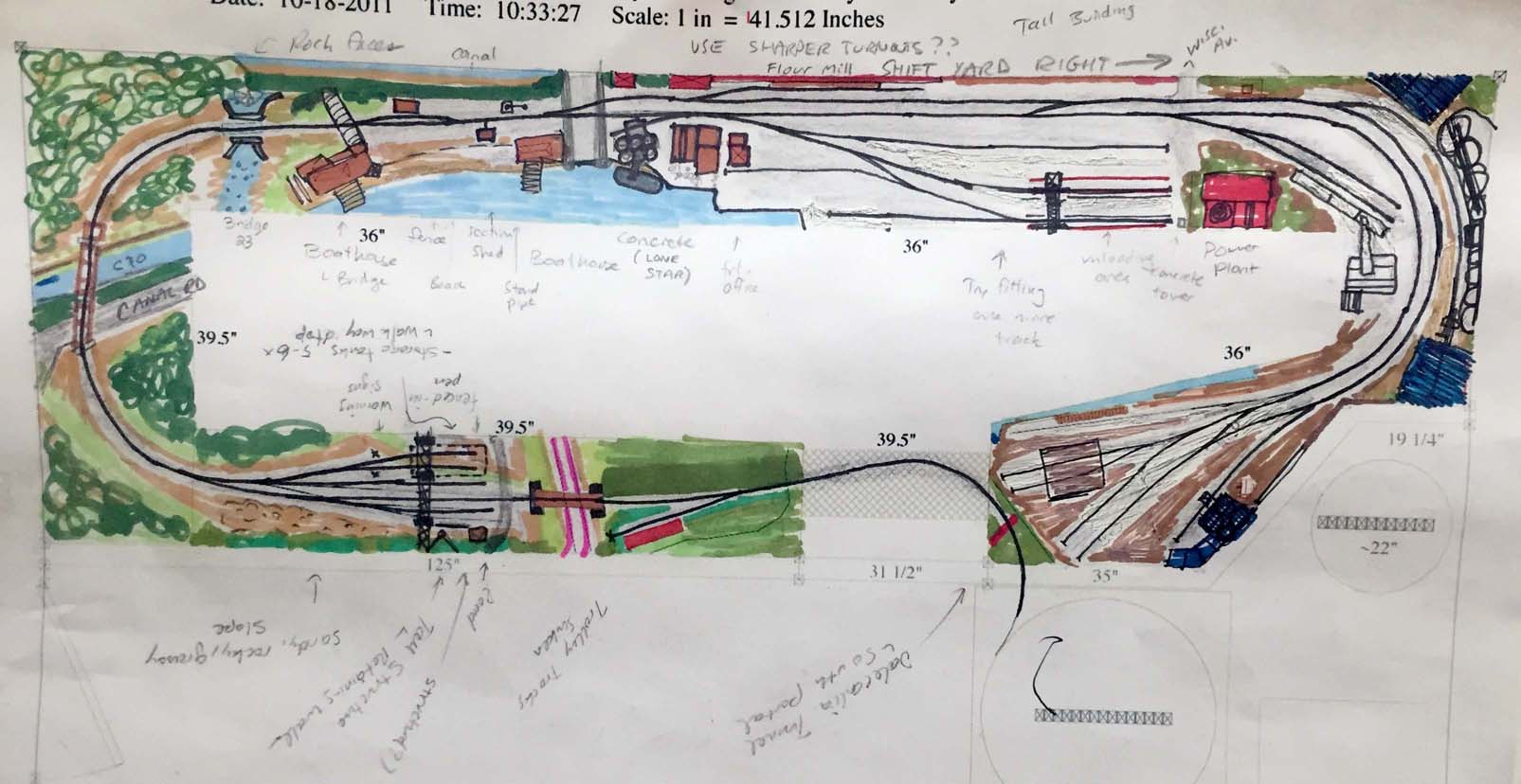
When I had last left off I had completed much of the track in Bethesda but ran into a snag when on of my train club friends pointed out that there was a nasty S-curve in the yard entrance. I had also installed some spline roadbed at the Geo. Jct. area and that worked out quite nicely. Much of the rest of the layout was covered with “stuff”, and became staging for painting trim for our office renovation as well as other random projects. All of that stuff was cleaned up, moved out or reorganized to optimize space. I completely cleared the upper level of the layout so I could continue working on the track work I had started over a year ago. Once I got cleaned up, things really moved along nicely. I realized a few things:

  1. I really love this project and I’m excited to see where it takes me.
  2. I need glasses – reading glasses at least. My vision is not what it was.
  3. I need to set some goals and stay on task.
  4. I need to flesh out the layout design a bit more; I came across some issues that are going to prove to be challenging to overcome and will most likely require reworking some of the track plan. (oh well!)

All in all, it’s been a productive weekend and I’m moving ahead with a good head of steam. I just hope I can keep the momentum!

The Famous Talbot Ave Bridge is Slated for Demolition

Talbot Ave bridge, 2/7/2015. © Ben Sullivan

A sad, sad day indeed. A couple of weeks ago I learned about the eminent demise of the famous Talbot Ave bridge which has spanned the Metropolitan Branch and Georgetown Branch of the B&O for nearly 100 years. The bridge was built back in 1918 and is somewhat of a special legend among railfans being that the girders appear to be sourced from an old turntable, giving it the distinctive profile. This shape is recognizable in so many photos shot over the ages at the Junction. I, myself, have visited the bridge many times, shooting photos of it and from it and enjoying it as a landmark. I’m terribly sad to hear of its eminent demise and will miss seeing it at the Junction as it altered forever with the Purple Line destruction not far off. At least it will live on in my basement, as I plan on modeling it on my railroad. Here are a couple links covering its history:

Talbot Avenue: a bridge in black and white

A Montgomery bridge that linked black and white neighborhoods during segregation soon will be lost to history

On February 7, 2015 I visited the area and took many detail photos of the bridge. You can find them here on my Flickr page. (Scroll down a ways, they begin around IMG_6582)

Talbot Ave Bridge in the distance as a CSX freight approaches
Talbot Ave Bridge in the distance as a CSX freight approaches. © Ben Sullivan

A Sketch of the Lower Level of the Layout

I created this a while ago but wanted to share it. This is a sketch I did showing rough scenery concepts for the lower level of the layout. What you have is the track entering from the helix at the bottom right. It exits from Dalecarlia Tunnel and then crosses a drop-down bridge, passes the Army Map siding and into the Dalecarlia water treatment facility yard area. From here the track continues down hill, crosses over the C&O canal, a Canal overflow/stream and into Georgetown. The line will pass the boat house, scale and under the Aqueduct bridge. In Georgetown there are several industries and yards for switching. The line continues through G-town  and ends at the Coal & Ash house and King Coal.

The idea here is to get a rough idea for what will actually fit and a slight reality check for my own sanity. I know that the track layout is relatively accurate but this exercise really allowed me to see what will fit and what won’t. I removed a few things I thought I would be able to fit and added others that I had missed. I hope to create one for the upper deck but it’s just a matter of time if I ever get around to it.

A colorized scenery and track layout sketch showing the overall concept for the lower level of the layout