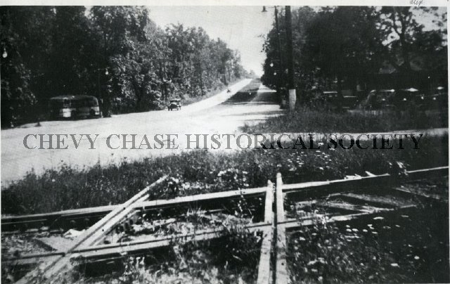
A bit of a misnomer, in 2002 I went out and shot b-roll video footage of the Branch between Georgetown Jct. and Rock Creek. My then-fiancee, now wife, Kristin, accompanied me on the adventure. At the time, I was taking a video editing class at the Corcoran in Georgetown, back when it was still around. I had intended to do an entire tour of the Branch, highlighting what was left of it. Well, life happened; I was engaged, we bought a house not a month earlier, and the wedding was planned for June. The GB Tour video was never made. The tapes were dumped in a box and only recently uncovered as I go through old belongings.
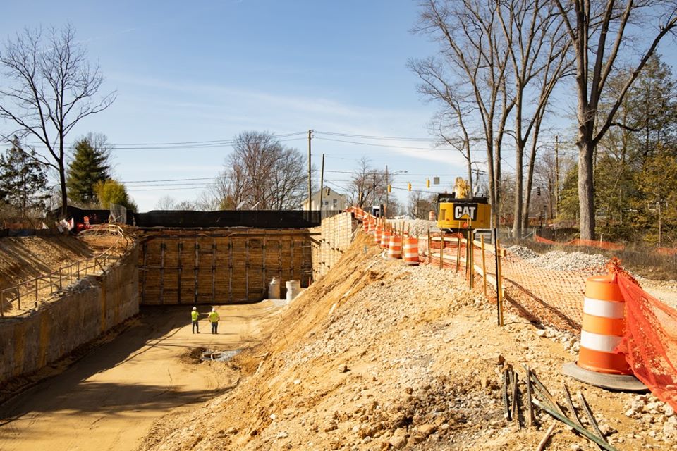
I captured all the footage from the old MiniDV tapes (originally shot on a Canon XL-1) and assembled them into a long, uncut timeline. This is not meant to be a compelling documentary of any kind; it’s merely a way for me to share some rare footage of the remnants of my favorite branch line. Some of what you see is long gone. Some is recently gone. For example, the Rock Creek trestle is still standing, in its pre-2000s facelift form! We even climbed atop the trestle to capture footage of the tracks. (if only I’d had the foresight to bring a measuring tape!) With all the Purple Line construction, you’ll notice much of the original right of way, which is now nearly obliterated. Enjoy this time capsule from 2002!